Yogyakarta — Students of the Applied Bachelor Program in Surveying and Mapping Technology, Sekolah Vokasi Universitas Gadjah Mada, conducted the Class A Terrestrial Photogrammetry Practicum on Wednesday, March 11, 2026. The activity took place in Room 504 of the Center of Excellence Smart and Green Building Information, Teaching Industry Learning Center Building.
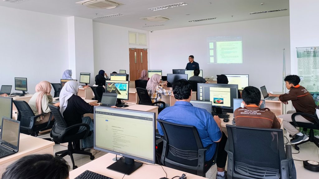
The practicum aimed to enhance students’ understanding and skills in processing terrestrial photogrammetry data as a core competency in the field of surveying and mapping. The activity was carried out directly in the laboratory by utilizing the facilities and technologies available at the Center of Excellence Smart and Green Building Information, which serves as a leading hub for the development of construction technology and digital mapping within the Vocational School.
During the practicum, students processed data using photogrammetry software such as Agisoft Metashape, covering stages from image input and alignment to the generation of three-dimensional (3D) models. This provided hands-on experience in understanding the complete workflow of terrestrial photogrammetry.
The practicum ran smoothly and interactively, with students actively engaging in discussions and exploring software features. Through this activity, students are expected to be able to apply photogrammetry technology effectively in various mapping and spatial modeling applications in professional practice.
The implementation of this practicum is also part of efforts to improve the quality of human resources in surveying and mapping technology, in line with the role of the Center of Excellence in supporting innovation, education, and the development of students’ competencies in the digital era.
— Penulis: Dyah Ajeng Wijayanti