Sleman — Students from the Department of Geomatics Engineering at the Universitas Gadjah Mada Vocational College (SV UGM) conducted a data acquisition activity as part of their final project titled “3D Modeling of Banyunibo Temple Based on the Integration of Terrestrial Laser Scanner and UAV Photogrammetry for Digital Documentation.” The activity was carried out on 25–26 April 2026 at Banyunibo Temple, Prambanan, Sleman, Special Region of Yogyakarta .
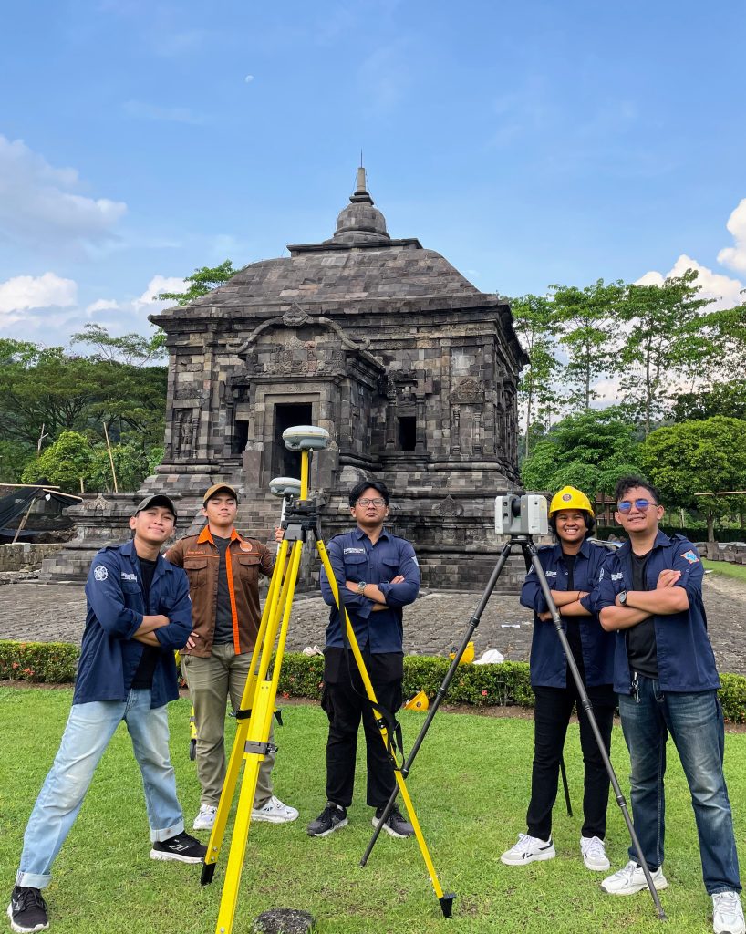
Documentation of data acquisition activities conducted by the team at Banyunibo Temple using TLS and GNSS
The research team consisted of Farizi Hibatul Hakim and four other students. This study aims to support cultural heritage preservation through digital documentation based on geospatial technology.
Banyunibo Temple is a 9th-century Buddhist temple dating back to the Ancient Mataram Kingdom, located in Cepit Hamlet, Bokoharjo, Prambanan, Sleman. As a cultural heritage site, accurate documentation is essential for preserving architectural information and the physical condition of the structure.
In carrying out the study, the team utilized various modern surveying instruments, including one unit of the Leica RTC360 Terrestrial Laser Scanner (TLS), one TLS controller, two units of Trimble R8s GNSS, one Trimble controller, and one GNSS pole. All of the equipment was provided by the Center of Excellence Smart and Green Building Information.
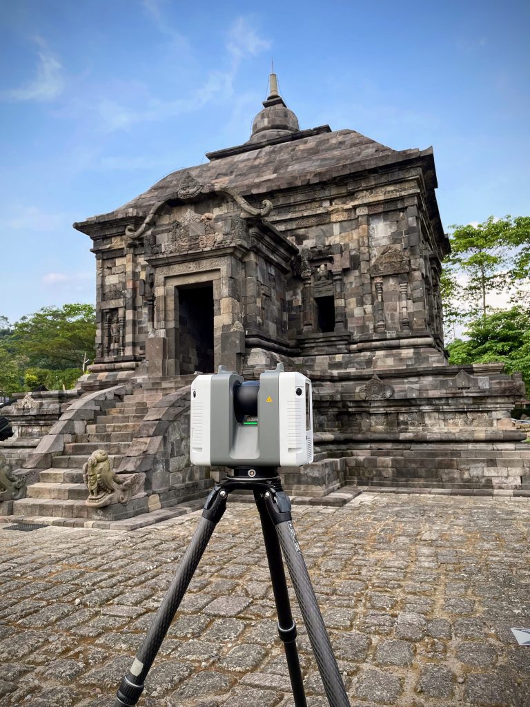
Scanning process of Banyunibo Temple using the Leica RTC360 TLS
The method applied integrates TLS scanning and GNSS-based coordinate measurements to produce a detailed and highly accurate 3D model. The results of the study are expected to contribute to the digitalization of cultural heritage while also supporting the development of historical building modeling technology in Indonesia.
Through this activity, students gained practical experience in integrating TLS and GNSS technologies, ranging from data acquisition to data processing and georeferencing. The activity is expected to improve students’ competencies in surveying and mapping, particularly in mastering 3D modeling technologies based on geospatial data.
Author – Dyah Ajeng Wijayanti