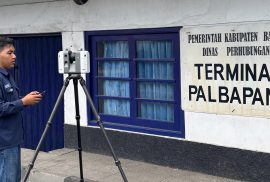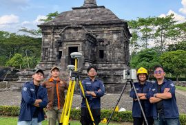
Sleman — Students from the Department of Geomatics Engineering at the Universitas Gadjah Mada Vocational College (SV UGM) conducted a data acquisition activity as part of their final project titled “3D Modeling of Banyunibo Temple Based on the Integration of Terrestrial Laser Scanner and UAV Photogrammetry for Digital Documentation.” The activity was carried out on 25–26 April 2026 at Banyunibo Temple, Prambanan, Sleman, Special Region of Yogyakarta .